
Vadnagar topographic map
Interactive map
Click on the map to display elevation.
About this map
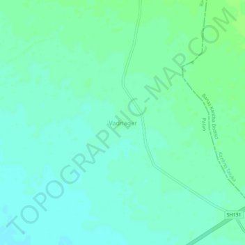
Name: Vadnagar topographic map, elevation, terrain.
Location: Vadnagar, Radhanpur Taluka, Patan, Gujarat, India (23.85472 71.67838 23.89472 71.71838)
Average elevation: 128 ft
Minimum elevation: 112 ft
Maximum elevation: 144 ft