
Tepezalá topographic map
Interactive map
Click on the map to display elevation.
About this map
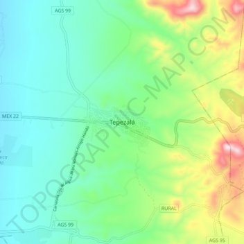
Name: Tepezalá topographic map, elevation, terrain.
Location: Tepezalá, Aguascalientes, 20602, Mexico (22.18351 -102.21128 22.26351 -102.13128)
Average elevation: 6,936 ft
Minimum elevation: 6,424 ft
Maximum elevation: 8,271 ft