
Steen topographic map
Interactive map
Click on the map to display elevation.
About this map
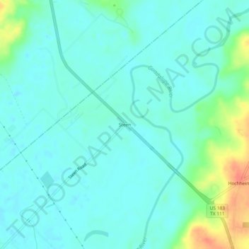
Name: Steen topographic map, elevation, terrain.
Location: Steen, DeWitt County, Texas, United States (29.30191 -97.33277 29.34191 -97.29277)
Average elevation: 236 ft
Minimum elevation: 197 ft
Maximum elevation: 381 ft