
Tingsryd topographic map
Interactive map
Click on the map to display elevation.
About this map
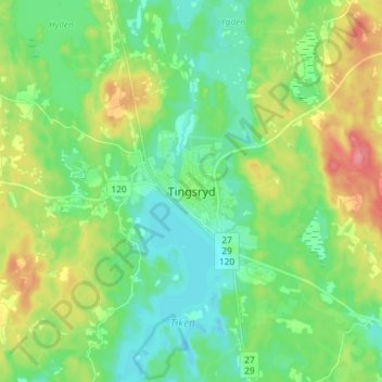
Name: Tingsryd topographic map, elevation, terrain.
Location: Tingsryd, Kronoberg County, Region Götaland, 36221, Sweden (56.48791 14.93719 56.56791 15.01719)
Average elevation: 479 ft
Minimum elevation: 397 ft
Maximum elevation: 646 ft