
Venman Bushland National Park topographic map
Interactive map
Click on the map to display elevation.
About this map
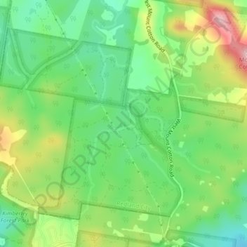
Name: Venman Bushland National Park topographic map, elevation, terrain.
Average elevation: 325 ft
Minimum elevation: 82 ft
Maximum elevation: 715 ft
Other topographic maps
Click on a map to view its topography, its elevation and its terrain.
Logandale
Australia > Queensland > Logandale
Logandale, Queensland, 4130, Australia
Average elevation: 49 ft