
Puerto Morelos topographic map
Interactive map
Click on the map to display elevation.
About this map
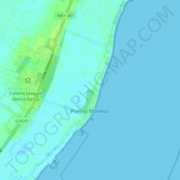
Name: Puerto Morelos topographic map, elevation, terrain.
Location: Puerto Morelos, Quintana Roo, Mexico (20.82332 -86.92484 20.89391 -86.85826)
Average elevation: 7 ft
Minimum elevation: -3 ft
Maximum elevation: 39 ft