
Hajar topographic map
Interactive map
Click on the map to display elevation.
About this map
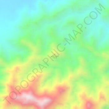
Name: Hajar topographic map, elevation, terrain.
Location: Hajar, Al Buraymi Governorate, Oman (24.16986 56.24991 24.16996 56.25001)
Average elevation: 2,572 ft
Minimum elevation: 1,821 ft
Maximum elevation: 3,727 ft
Other topographic maps
Click on a map to view its topography, its elevation and its terrain.
Hamasa
Oman > Al Buraymi Governorate > Hamasa
Hamasa, Al Buraymi Governorate, Oman
Average elevation: 951 ft