
Saint-Pierre topographic map
Interactive map
Click on the map to display elevation.
About this map
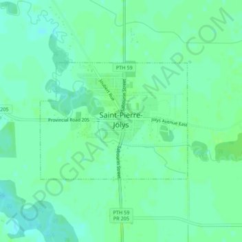
Name: Saint-Pierre topographic map, elevation, terrain.
Location: Saint-Pierre, Manitoba, Canada (49.43361 -96.99924 49.44663 -96.97393)
Average elevation: 784 ft
Minimum elevation: 768 ft
Maximum elevation: 797 ft