
Bailey Hall topographic map
Interactive map
Click on the map to display elevation.
About this map
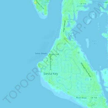
Name: Bailey Hall topographic map, elevation, terrain.
Average elevation: 7 ft
Minimum elevation: -3 ft
Maximum elevation: 52 ft
Other topographic maps
Click on a map to view its topography, its elevation and its terrain.
Siesta Key
United States > Florida > Sarasota County > Siesta Key
Siesta Key, Sarasota Beach, Siesta Key, Sarasota County, Florida, 34242, United States
Average elevation: 7 ft