
Mount Holyoke topographic map
Interactive map
Click on the map to display elevation.
About this map
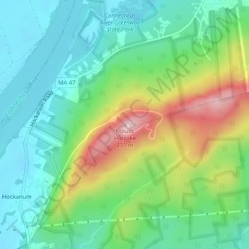
Name: Mount Holyoke topographic map, elevation, terrain.
Average elevation: 344 ft
Minimum elevation: 85 ft
Maximum elevation: 902 ft
Other topographic maps
Click on a map to view its topography, its elevation and its terrain.
North Hadley
United States > Massachusetts > Hampshire County > Hadley
North Hadley, Hadley, Hampshire County, Massachusetts, 01038, United States
Average elevation: 157 ft