
Malakoff Diggins State Historic Park topographic map
Interactive map
Click on the map to display elevation.
About this map
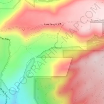
Name: Malakoff Diggins State Historic Park topographic map, elevation, terrain.
Average elevation: 4,173 ft
Minimum elevation: 3,471 ft
Maximum elevation: 4,629 ft