
Moriah topographic map
Interactive map
Click on the map to display elevation.
About this map
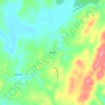
Name: Moriah topographic map, elevation, terrain.
Location: Moriah, Coosa County, Alabama, United States (32.91373 -86.36581 32.95373 -86.32581)
Average elevation: 617 ft
Minimum elevation: 479 ft
Maximum elevation: 860 ft