
White Hall topographic map
Interactive map
Click on the map to display elevation.
About this map
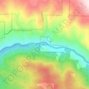
Name: White Hall topographic map, elevation, terrain.
Location: White Hall, El Dorado County, California, USA (38.75518 -120.42520 38.79518 -120.38520)
Average elevation: 4,354 ft
Minimum elevation: 3,323 ft
Maximum elevation: 5,561 ft