
South Lynchburg topographic map
Interactive map
Click on the map to display elevation.
About this map
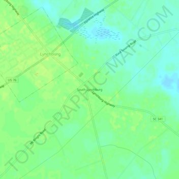
Name: South Lynchburg topographic map, elevation, terrain.
Location: South Lynchburg, Lee County, South Carolina, United States (34.03220 -80.08083 34.07220 -80.04083)
Average elevation: 144 ft
Minimum elevation: 118 ft
Maximum elevation: 164 ft
Other topographic maps
Click on a map to view its topography, its elevation and its terrain.
Bishopville
United States > South Carolina > Lee County > Bishopville
Bishopville, Lee County, South Carolina, United States
Average elevation: 223 ft