
Kasteel Nederhemert topographic map
Interactive map
Click on the map to display elevation.
About this map
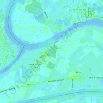
Name: Kasteel Nederhemert topographic map, elevation, terrain.
Average elevation: 10 ft
Minimum elevation: -7 ft
Maximum elevation: 36 ft
Other topographic maps
Click on a map to view its topography, its elevation and its terrain.
Poederoijen
Nederland > Gelderland > Zaltbommel
Poederoijen, Zaltbommel, Gelderland, Nederland
Average elevation: 7 ft
Nieuwaal
Nederland > Gelderland > Zaltbommel
Nieuwaal, Zaltbommel, Gelderland, Nederland
Average elevation: 10 ft
Kerkwijk
Nederland > Gelderland > Zaltbommel
Kerkwijk, Zaltbommel, Gelderland, Nederland
Average elevation: 10 ft