
Narasaraopet topographic map
Interactive map
Click on the map to display elevation.
About this map
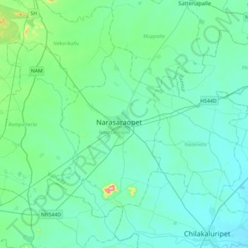
Name: Narasaraopet topographic map, elevation, terrain.
Location: Narasaraopet, Guntur, Andhra Pradesh, 522600, India (16.07596 79.89406 16.39596 80.21406)
Average elevation: 243 ft
Minimum elevation: 62 ft
Maximum elevation: 1,503 ft