
Rock Canyon Trailhead topographic map
Interactive map
Click on the map to display elevation.
About this map
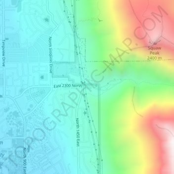
Name: Rock Canyon Trailhead topographic map, elevation, terrain.
Location: Rock Canyon Trailhead, Provo, Utah County, Utah, USA (40.26420 -111.63142 40.26477 -111.62970)
Average elevation: 5,630 ft
Minimum elevation: 4,675 ft
Maximum elevation: 8,127 ft
Other topographic maps
Click on a map to view its topography, its elevation and its terrain.