
Sharpstown topographic map
Interactive map
Click on the map to display elevation.
About this map
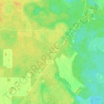
Name: Sharpstown topographic map, elevation, terrain.
Location: Sharpstown, Calhoun County, Florida, USA (30.34659 -85.12020 30.38659 -85.08020)
Average elevation: 75 ft
Minimum elevation: 26 ft
Maximum elevation: 112 ft