
Río Guadiana topographic map
Interactive map
Click on the map to display elevation.
About this map
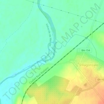
Name: Río Guadiana topographic map, elevation, terrain.
Location: Río Guadiana, Villagonzalo, Badajoz, Extremadura, España (38.86444 -6.21291 38.86928 -6.20845)
Average elevation: 735 ft
Minimum elevation: 682 ft
Maximum elevation: 823 ft