
Malaita Province topographic map
Interactive map
Click on the map to display elevation.
About this map
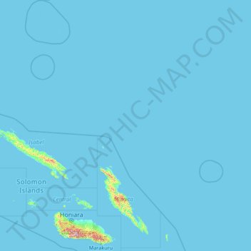
Name: Malaita Province topographic map, elevation, terrain.
Location: Malaita Province, Solomon Islands (-10.06705 158.98086 -4.81085 163.15248)
Average elevation: 39 ft
Minimum elevation: 0 ft
Maximum elevation: 6,932 ft