
Devil's Millhopper Geological State Park topographic map
Interactive map
Click on the map to display elevation.
About this map
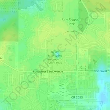
Name: Devil's Millhopper Geological State Park topographic map, elevation, terrain.
Average elevation: 180 ft
Minimum elevation: 148 ft
Maximum elevation: 194 ft