
Esther Island topographic map
Interactive map
Click on the map to display elevation.
About this map
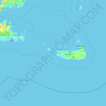
Name: Esther Island topographic map, elevation, terrain.
Average elevation: 3 ft
Minimum elevation: -69 ft
Maximum elevation: 184 ft
Other topographic maps
Click on a map to view its topography, its elevation and its terrain.
Miacomet Heath Natural Heritage Area
USA > Massachusetts > Nantucket
Miacomet Heath Natural Heritage Area, Mioxes Pond Road, Nantucket, Nantucket County, Massachusetts, 02554, USA
Average elevation: 7 ft