
La Biznaga topographic map
Interactive map
Click on the map to display elevation.
About this map
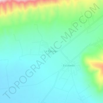
Name: La Biznaga topographic map, elevation, terrain.
Location: La Biznaga, Arteaga, Coahuila de Zaragoza, México (25.33188 -100.69865 25.37188 -100.65865)
Average elevation: 7,083 ft
Minimum elevation: 6,726 ft
Maximum elevation: 8,301 ft