
Rhônestock topographic map
Interactive map
Click on the map to display elevation.
About this map
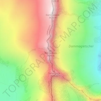
Name: Rhônestock topographic map, elevation, terrain.
Location: Rhônestock, Göschenen, Uri, 6487, Svizzera (46.63321 8.42026 46.63331 8.42036)
Average elevation: 10,240 ft
Minimum elevation: 8,707 ft
Maximum elevation: 11,818 ft
Other topographic maps
Click on a map to view its topography, its elevation and its terrain.