
Lake Mendota topographic map
Interactive map
Click on the map to display elevation.
About this map
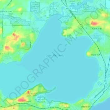
Name: Lake Mendota topographic map, elevation, terrain.
Average elevation: 869 ft
Minimum elevation: 840 ft
Maximum elevation: 1,027 ft
Other topographic maps
Click on a map to view its topography, its elevation and its terrain.
Brentwood Village
Brentwood Village, Madison, Dane County, Wisconsin, USA
Average elevation: 879 ft
Schenk-Atwood-Starkweather-Yahara
Schenk-Atwood-Starkweather-Yahara, Madison, Dane County, Wisconsin, 53701, USA
Average elevation: 863 ft