
Sylacauga topographic map
Interactive map
Click on the map to display elevation.
About this map
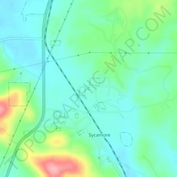
Name: Sylacauga topographic map, elevation, terrain.
Location: Sylacauga, Talladega County, Alabama, United States (33.25803 -86.20457 33.25846 -86.20429)
Average elevation: 600 ft
Minimum elevation: 495 ft
Maximum elevation: 899 ft