
Le Sépey topographic map
Interactive map
Click on the map to display elevation.
About this map
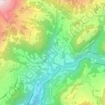
Name: Le Sépey topographic map, elevation, terrain.
Location: Le Sépey, District d'Aigle, Vaud, 1863, Svizzera (46.34114 7.03123 46.38114 7.07123)
Average elevation: 4,180 ft
Minimum elevation: 2,592 ft
Maximum elevation: 6,762 ft