
Villianur topographic map
Interactive map
Click on the map to display elevation.
About this map
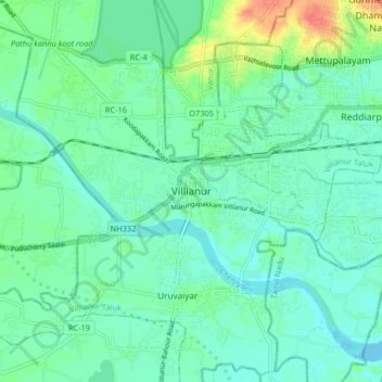
Name: Villianur topographic map, elevation, terrain.
Location: Villianur, Puducherry district, Puducherry, 605110, India (11.87326 79.71508 11.95326 79.79508)
Average elevation: 43 ft
Minimum elevation: -10 ft
Maximum elevation: 164 ft