
Kesinga topographic map
Interactive map
Click on the map to display elevation.
About this map
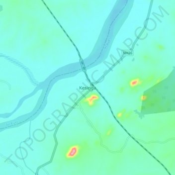
Name: Kesinga topographic map, elevation, terrain.
Location: Kesinga, Kālāhandi, Kalahandi, Odisha, India (20.15036 83.17968 20.23036 83.25968)
Average elevation: 614 ft
Minimum elevation: 538 ft
Maximum elevation: 1,122 ft