
Kampot topographic map
Interactive map
Click on the map to display elevation.
About this map
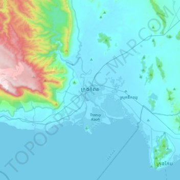
Name: Kampot topographic map, elevation, terrain.
Location: Kampot, Cambodia (10.45831 104.01973 10.77831 104.33973)
Average elevation: 417 ft
Minimum elevation: -3 ft
Maximum elevation: 3,497 ft
Other topographic maps
Click on a map to view its topography, its elevation and its terrain.