
Deep Cut topographic map
Interactive map
Click on the map to display elevation.
About this map
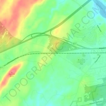
Name: Deep Cut topographic map, elevation, terrain.
Location: Deep Cut, Cumberland County, Maine, USA (43.89036 -70.03450 43.93036 -69.99450)
Average elevation: 131 ft
Minimum elevation: 33 ft
Maximum elevation: 282 ft