
Phan Rang - Tháp Chàm topographic map
Interactive map
Click on the map to display elevation.
About this map
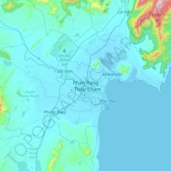
Name: Phan Rang - Tháp Chàm topographic map, elevation, terrain.
Average elevation: 213 ft
Minimum elevation: -10 ft
Maximum elevation: 3,350 ft