
Summerwood topographic map
Interactive map
Click on the map to display elevation.
About this map
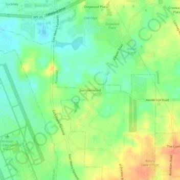
Name: Summerwood topographic map, elevation, terrain.
Location: Summerwood, Rankin County, Mississippi, 39232, USA (32.30237 -90.07508 32.34237 -90.03508)
Average elevation: 338 ft
Minimum elevation: 276 ft
Maximum elevation: 420 ft