
Leisure topographic map
Interactive map
Click on the map to display elevation.
About this map
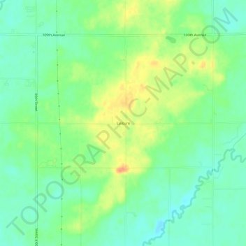
Name: Leisure topographic map, elevation, terrain.
Location: Leisure, Allegan County, Michigan, USA (42.44947 -86.18836 42.48947 -86.14836)
Average elevation: 650 ft
Minimum elevation: 597 ft
Maximum elevation: 728 ft