
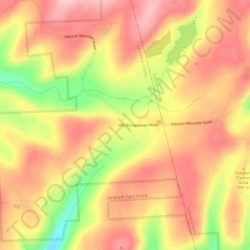
Ellenton topographic map
Interactive map
Click on the map to display elevation.
About this map
Name: Ellenton topographic map, elevation, terrain.
Location: Ellenton, Lycoming County, Pennsylvania, United States (41.51952 -76.82412 41.55952 -76.78412)
Average elevation: 2,100 ft
Minimum elevation: 1,726 ft
Maximum elevation: 2,313 ft