
Jackman topographic map
Interactive map
Click on the map to display elevation.
About this map
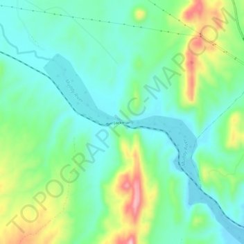
Name: Jackman topographic map, elevation, terrain.
Location: Jackman, Clark County, Nevada, USA (36.62220 -114.56026 36.66220 -114.52026)
Average elevation: 1,660 ft
Minimum elevation: 1,460 ft
Maximum elevation: 2,139 ft