
Henrys Lake topographic map
Interactive map
Click on the map to display elevation.
About this map
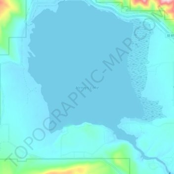
Name: Henrys Lake topographic map, elevation, terrain.
Average elevation: 6,562 ft
Minimum elevation: 6,476 ft
Maximum elevation: 7,661 ft
Henrys Lake is a small, shallow alpine lake in the western United States, in eastern Idaho. Approximately 8 square miles (21 km2) in area, at 4 miles (6.4 km) in length and 2 miles (3.2 km) in width, its surface elevation is 6,472 ft (1,973 m) above sea level.