
Gospel-Hump Wilderness Area topographic map
Interactive map
Click on the map to display elevation.
About this map
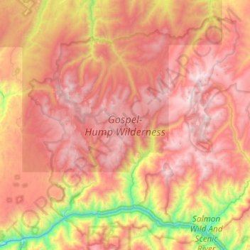
Name: Gospel-Hump Wilderness Area topographic map, elevation, terrain.
Average elevation: 5,758 ft
Minimum elevation: 1,896 ft
Maximum elevation: 8,894 ft