
Eilendorf topographic map
Interactive map
Click on the map to display elevation.
About this map
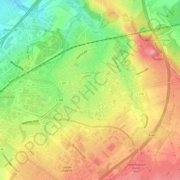
Name: Eilendorf topographic map, elevation, terrain.
Average elevation: 666 ft
Minimum elevation: 486 ft
Maximum elevation: 820 ft
Other topographic maps
Click on a map to view its topography, its elevation and its terrain.
Brand
Duitsland > Noordrijn-Westfalen > Aken
Brand, Aken, Städteregion Aachen, Regierungsbezirk Köln, Noordrijn-Westfalen, Duitsland
Average elevation: 768 ft