
Puente de Camotlán topographic map
Interactive map
Click on the map to display elevation.
About this map
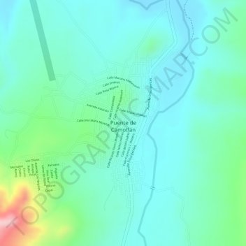
Name: Puente de Camotlán topographic map, elevation, terrain.
Location: Puente de Camotlán, La Yesca, Nayarit, Mexico (21.68838 -104.09132 21.70711 -104.07429)
Average elevation: 3,780 ft
Minimum elevation: 3,629 ft
Maximum elevation: 4,259 ft