
Chomedey topographic map
Interactive map
Click on the map to display elevation.
About this map
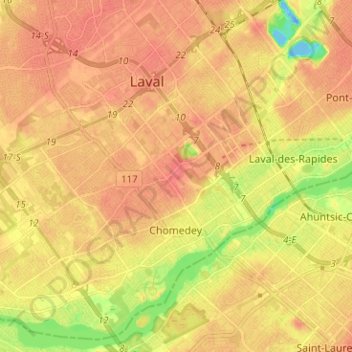
Name: Chomedey topographic map, elevation, terrain.
Location: Chomedey, Laval, Quebec, Canada (45.51167 -73.81391 45.59254 -73.68784)
Average elevation: 105 ft
Minimum elevation: -72 ft
Maximum elevation: 157 ft
Other topographic maps
Click on a map to view its topography, its elevation and its terrain.