
Vinjane topographic map
Interactive map
Click on the map to display elevation.
About this map
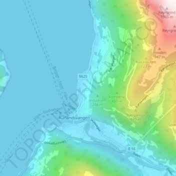
Name: Vinjane topographic map, elevation, terrain.
Location: Vinjane, Aurlandsvangen, Aurland, Vestland, 5745, Norway (60.89244 7.17348 60.93244 7.21348)
Average elevation: 758 ft
Minimum elevation: -20 ft
Maximum elevation: 4,662 ft