
Elba Township topographic map
Interactive map
Click on the map to display elevation.
About this map
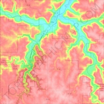
Name: Elba Township topographic map, elevation, terrain.
Location: Elba Township, Winona County, Minnesota, United States (44.02036 -92.07927 44.10681 -91.95921)
Average elevation: 1,047 ft
Minimum elevation: 712 ft
Maximum elevation: 1,207 ft
Winona County trails, hiking, mountain biking, running and outdoor activities
Other topographic maps
Click on a map to view its topography, its elevation and its terrain.