
Laketown Township topographic map
Interactive map
Click on the map to display elevation.
About this map
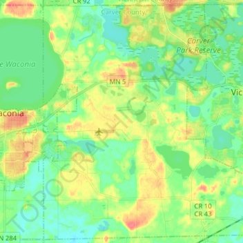
Name: Laketown Township topographic map, elevation, terrain.
Location: Laketown Township, Carver County, Minnesota, United States (44.80383 -93.76886 44.89119 -93.64157)
Average elevation: 974 ft
Minimum elevation: 912 ft
Maximum elevation: 1,076 ft
Carver County trails, hiking, mountain biking, running and outdoor activities
Other topographic maps
Click on a map to view its topography, its elevation and its terrain.