
Weldon Township topographic map
Interactive map
Click on the map to display elevation.
About this map
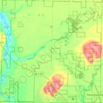
Name: Weldon Township topographic map, elevation, terrain.
Location: Weldon Township, Benzie County, Michigan, United States (44.51312 -86.06047 44.60283 -85.93660)
Average elevation: 801 ft
Minimum elevation: 617 ft
Maximum elevation: 1,115 ft
Benzie County trails, hiking, mountain biking, running and outdoor activities
Other topographic maps
Click on a map to view its topography, its elevation and its terrain.