
Mangatarem topographic map
Interactive map
Click on the map to display elevation.
About this map
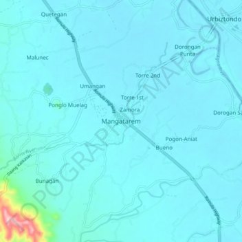
Name: Mangatarem topographic map, elevation, terrain.
Location: Mangatarem, Pangasinan, Ilocos Region, 2413, Philippines (15.74854 120.25386 15.82854 120.33386)
Average elevation: 75 ft
Minimum elevation: 16 ft
Maximum elevation: 886 ft