
Rye topographic map
Interactive map
Click on the map to display elevation.
About this map
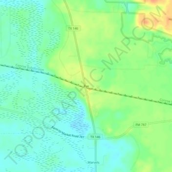
Name: Rye topographic map, elevation, terrain.
Location: Rye, Liberty County, Texas, United States (30.43271 -94.78882 30.47271 -94.74882)
Average elevation: 102 ft
Minimum elevation: 56 ft
Maximum elevation: 180 ft