
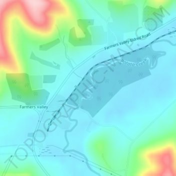
Potato Creek topographic map
Interactive map
Click on the map to display elevation.
About this map
Name: Potato Creek topographic map, elevation, terrain.
Average elevation: 1,562 ft
Minimum elevation: 1,427 ft
Maximum elevation: 2,083 ft
Other topographic maps
Click on a map to view its topography, its elevation and its terrain.
Potato Creek
United States > Pennsylvania > McKean County > Keating Township
Potato Creek, Keating Township, McKean County, Pennsylvania, United States
Average elevation: 1,542 ft
Aiken
United States > Pennsylvania > McKean County > Keating Township
Aiken, Keating Township, McKean County, Pennsylvania, 16744, United States
Average elevation: 2,083 ft
Potato Creek
United States > Pennsylvania > McKean County > Keating Township
Potato Creek, Keating Township, McKean County, Pennsylvania, 16730, United States
Average elevation: 1,588 ft