
Unionville topographic map
Interactive map
Click on the map to display elevation.
About this map
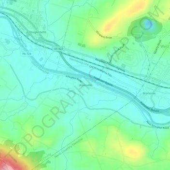
Name: Unionville topographic map, elevation, terrain.
Average elevation: 236 ft
Minimum elevation: 92 ft
Maximum elevation: 669 ft
Other topographic maps
Click on a map to view its topography, its elevation and its terrain.
Kulptown
United States > Pennsylvania > Berks County > Union Township
Kulptown, Union Township, Berks County, Pennsylvania, 19603, United States
Average elevation: 453 ft