
Wagener topographic map
Interactive map
Click on the map to display elevation.
About this map
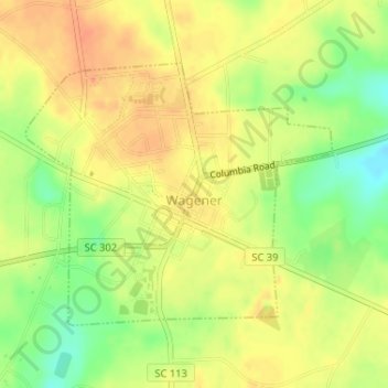
Name: Wagener topographic map, elevation, terrain.
Location: Wagener, Aiken County, South Carolina, United States (33.64363 -81.37530 33.66191 -81.34966)
Average elevation: 449 ft
Minimum elevation: 358 ft
Maximum elevation: 509 ft